Postal
and office address:
Sandsjön 800
SE-43892 Härryda, Sweden
(Note that this is not a street number)
Tel. (+46)-301-31100 (No fax subscription)
E-mail:
r por.se (click
on the @)
VAT nr SE556201-5445-01 [P O R Microtrans AB]

Härryda is a municipality in the county of Västra Götaland and is situated between 5 and 35 km east of Sweden’s second largest city Gothenburg. The municipality has about 33 000 inhabitants and most of these live in small towns, of which Mölnlycke at the western end is the largest. The total area is 300 km², of which half is covered by forests and 8 % are lakes. Sweden’s second largest airport – Landvetter – lies approximately in the centre of the municipality, 30 km from downtown Gothenburg. Actually, the airport lies in the parish of Härryda (one of the five in the municipality with the same name), which is in itself sparsely populated. I live in the Härryda parish, about 8 km from the airport, at a right angle from the runway – so there is not much noise at all.
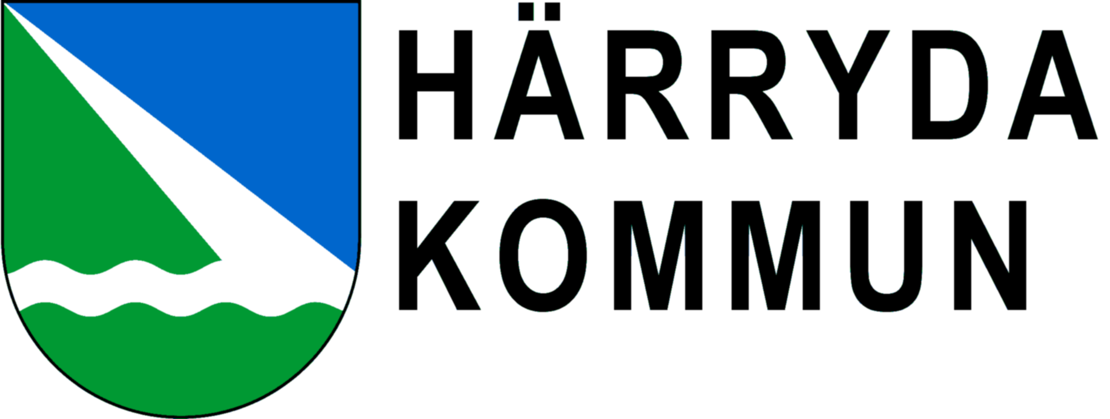
Härryda got its coat of arms in 2007, after a public contest. I came out as the winner. The arms symbolises the forest, rivers and lakes – and the airport runway.
_____________________
Härryda kommun ligger i Västra Götalands län, mellan 5 och 35 km öster om Göteborg. Kommunen har ca 33 000 innevånare och de flesta bor i de ca 5 tätorterna, varav Mölnlycke i västra änden är störst. Kommunens yta är 300 km², varav hälften skog och 8 % sjöar. Landvetters flygplats ligger 30 km från Göteborgs centrum och i Härryda församling. Där bor jag – dock ca 8 km från den, och eftersom startbanan är vinkelrät mot riktningen till mitt hem är det inte alls mycket buller.
Härryda fick sitt kommunvapen först 2007, som den sista i Sverige. En allmän tävling med deltagare från hela Sverige och även Danmark föregick valet av vinnare – som blev jag. Vapnet symboliserar skog, åar och sjöar samt flygplatsens startbana.
.